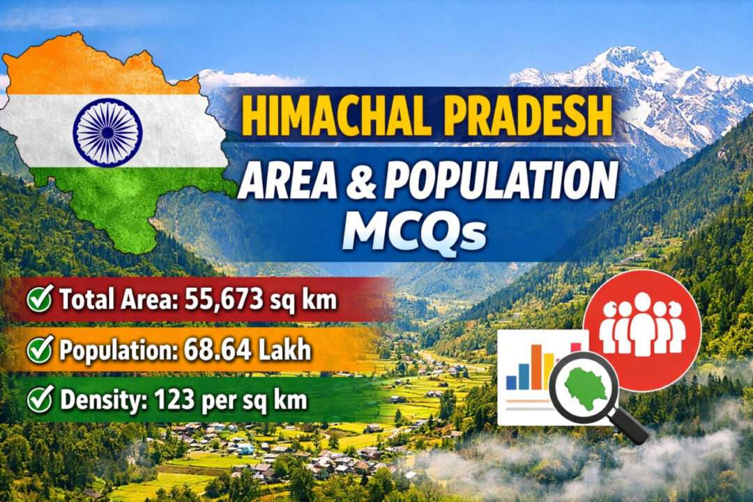
Himachal Pradesh – Area & Population MCQs
Here are 50 MCQs with Answers on Himachal Pradesh – Area & Population (General Knowledge) for competitive exams like HPPSC, HP Police, HP Patwari, TGT, JOA, etc.
1. What is the total geographical area of Himachal Pradesh?
A. 45,673 sq km
B. 55,673 sq km
C. 65,432 sq km
D. 50,120 sq km
✅ Answer: B. 55,673 sq km
2. What is the total population of Himachal Pradesh as per Census 2011?
A. 60 lakh
B. 72 lakh
C. 68 lakh
D. 75 lakh
✅ Answer: C. 68 lakh (68,64,602)
3. What is the population density of Himachal Pradesh (Census 2011)?
A. 109 persons per sq km
B. 123 persons per sq km
C. 150 persons per sq km
D. 95 persons per sq km
✅ Answer: B. 123 persons per sq km
4. Which district is largest in area in Himachal Pradesh?
A. Kangra
B. Shimla
C. Lahaul-Spiti
D. Chamba
✅ Answer: C. Lahaul-Spiti
5. Which district has the smallest area in Himachal Pradesh?
A. Una
B. Hamirpur
C. Bilaspur
D. Solan
✅ Answer: B. Hamirpur
6. Which district has the highest population in Himachal Pradesh?
A. Mandi
B. Shimla
C. Kangra
D. Solan
✅ Answer: C. Kangra
7. Which district has the lowest population in Himachal Pradesh?
A. Kinnaur
B. Lahaul-Spiti
C. Chamba
D. Bilaspur
✅ Answer: B. Lahaul-Spiti
8. What percentage of India’s total area is covered by Himachal Pradesh?
A. 1.2%
B. 1.5%
C. 1.7%
D. 2.0%
✅ Answer: C. 1.7%
9. Himachal Pradesh ranks at which position in India in terms of area?
A. 16th
B. 17th
C. 18th
D. 20th
✅ Answer: B. 17th
10. Himachal Pradesh ranks at which position in India in terms of population?
A. 17th
B. 20th
C. 21st
D. 22nd
✅ Answer: C. 21st
11. What is the sex ratio of Himachal Pradesh (Census 2011)?
A. 950
B. 972
C. 990
D. 968
✅ Answer: B. 972 females per 1000 males
12. What is the literacy rate of Himachal Pradesh (Census 2011)?
A. 78.8%
B. 82.8%
C. 83.7%
D. 85.5%
✅ Answer: B. 82.8%
13. Which district has the highest literacy rate in Himachal Pradesh?
A. Hamirpur
B. Una
C. Kangra
D. Solan
✅ Answer: A. Hamirpur
14. Which district has the lowest literacy rate in Himachal Pradesh?
A. Chamba
B. Sirmaur
C. Lahaul-Spiti
D. Kinnaur
✅ Answer: C. Lahaul-Spiti
15. Which district has the highest population density?
A. Kangra
B. Hamirpur
C. Una
D. Bilaspur
✅ Answer: B. Hamirpur
16. Which district has the lowest population density?
A. Kinnaur
B. Chamba
C. Lahaul-Spiti
D. Shimla
✅ Answer: C. Lahaul-Spiti
17. How many districts are there in Himachal Pradesh?
A. 10
B. 11
C. 12
D. 13
✅ Answer: C. 12
18. Which district has the highest sex ratio?
A. Kinnaur
B. Hamirpur
C. Mandi
D. Kangra
✅ Answer: C. Mandi
19. What was the decadal growth rate (2001–2011) of Himachal Pradesh?
A. 12.8%
B. 15.6%
C. 17.5%
D. 20.2%
✅ Answer: A. 12.8%
20. Which district showed the highest population growth (2001–2011)?
A. Una
B. Solan
C. Kullu
D. Kangra
✅ Answer: B. Solan
21. Which district showed negative population growth (2001–2011)?
A. Chamba
B. Shimla
C. Kinnaur
D. Lahaul-Spiti
✅ Answer: D. Lahaul-Spiti
22. Which district is second largest in area?
A. Chamba
B. Kinnaur
C. Shimla
D. Kangra
✅ Answer: A. Chamba
23. Which district is second smallest in area?
A. Bilaspur
B. Una
C. Hamirpur
D. Solan
✅ Answer: A. Bilaspur
24. Urban population percentage of Himachal Pradesh (Census 2011) is approximately:
A. 5%
B. 8%
C. 10%
D. 15%
✅ Answer: C. 10%
25. Rural population percentage of Himachal Pradesh is approximately:
A. 80%
B. 85%
C. 90%
D. 92%
✅ Answer: C. 90%
26–50 (Quick Practice MCQs)
-
Capital of HP (area reference) – ✅ Shimla
-
Winter capital – ✅ Dharamshala
-
Largest district by population – ✅ Kangra
-
Smallest district by population – ✅ Lahaul-Spiti
-
Highest density district – ✅ Hamirpur
-
Lowest density district – ✅ Lahaul-Spiti
-
Highest literacy – ✅ Hamirpur
-
Lowest literacy – ✅ Lahaul-Spiti
-
Highest sex ratio – ✅ Mandi
-
Approximate male population (2011) – ✅ 34 lakh
-
Approximate female population (2011) – ✅ 33 lakh
-
Census year used – ✅ 2011
-
Total tehsils (approx) – ✅ 70+
-
HP formation year (statehood) – ✅ 1971
-
Area rank in India – ✅ 17th
-
Population rank in India – ✅ 21st
-
Largest tribal population district – ✅ Lahaul-Spiti
-
Smallest district by density – ✅ Lahaul-Spiti
-
District with high urban growth – ✅ Solan
-
Most populous subdivision – ✅ Kangra region
-
Percentage growth lower than national average – ✅ Yes
-
Population below 1 crore – ✅ Yes
-
Mountainous area percentage – ✅ Major portion
-
Population increase slower than many Indian states – ✅ Yes
-
Census conducted by – ✅ Government of India

Hey readers myself Pawan Kumar from Solan, Himachal Pradesh. I am trying my best to provide readers best experience on our website Sarkari Jobs Info, Started in Oct 2022. I always try to valuable insights and timely updates about various job opportunities in various Government departments.